 Last Saturday: Mohonk Preserve
 Last Saturday: Leon Levy Preserve
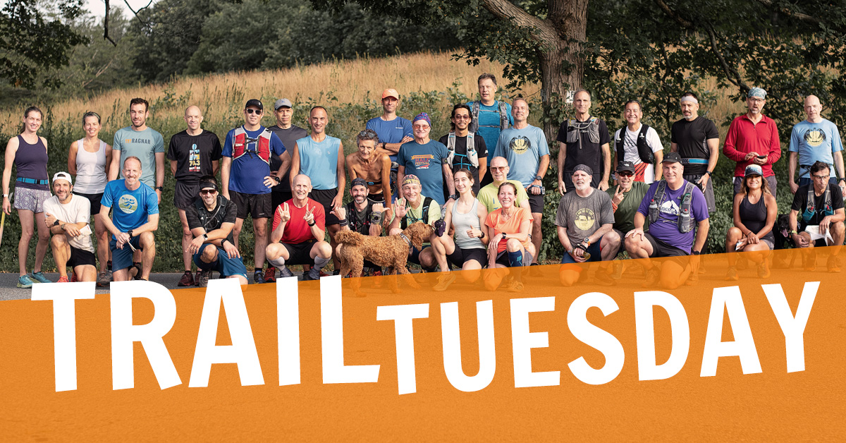 October 27 @ 5:30 am – 7:00 am
 October 28 @ 5:30 am – 7:00 am
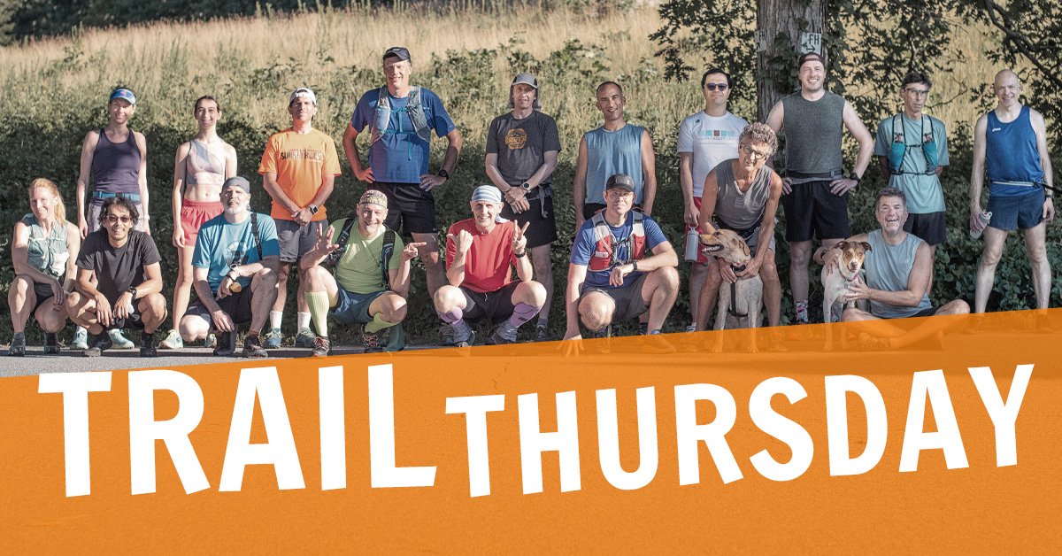 October 29 @ 5:30 am – 7:00 am
 October 31 @ 7:00 am – 9:00 am
On Saturday, October 31, at 7:00 a.m., meet at Ward Pound Ridge Reservation, Michigan Road lot, ready to run the Green Rock Trail course which includes the Overlook, Spy Rock, the Stairs, and Raven Rocks. Options include 4.5, 6.5, 7.5, and 8.5 miles, running counterclockwise, down the stairs, toward Raven Rocks. Don’t see a distance you want? Be creative and combine the courses. Early Risers start at 6:00 for a few extra miles.
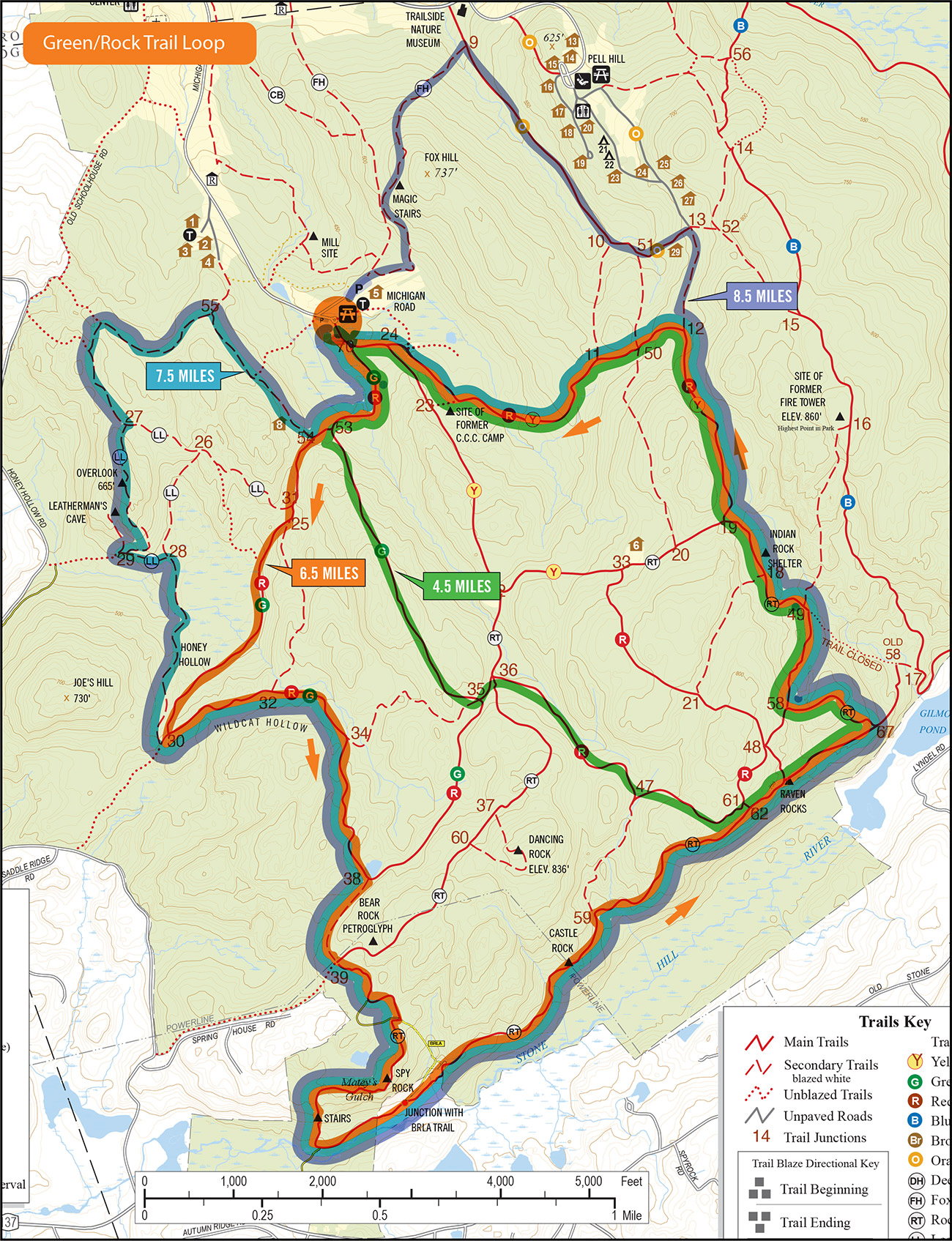
Last time we ran this course was October 25, 2025
 Find out more »
 November 1 @ 8:00 am – 9:30 am
On Sunday, November 2, at 8:00 a.m., meet at Ward Pound Ridge Reservation, Meadow Lot, ready to run the Raven Rocks Course. This is your one chance to check out the course before the race which is just a week away. Cobweb Crew starts at 5:00; Early Risers start at 7:00 for a few extra miles.
Rookie Runners start at 7:00 for a shorter distance and easier pace.
Walkers/Hikers start at 8:00 on a short course of around 4 miles.

Last time we ran this was November 2, 2025
 Find out more »October 27 @ 5:30 am – 7:00 amOctober 28 @ 5:30 am – 7:00 amOctober 29 @ 5:30 am – 7:00 amOctober 31 @ 7:00 am – 9:00 amNovember 1 @ 8:00 am – 9:30 amNovember 3 @ 5:30 am – 7:00 amNovember 4 @ 5:30 am – 7:00 amNovember 5 @ 5:30 am – 7:00 am
 November 7 @ 7:00 am – 9:00 am
 November 8 @ 9:00 am – 11:00 am
 Just a reminder, it’s tick season. Shower and check your skin over after runs, use a bug spray with Deet on your shoes, legs, and arms before a run, and I recommend light-color socks or calf sleeves that have been sprayed with Permethrin, Picaridin, or other bug repellent and allowed to dry. An ounce of prevention is worth a pound of doxycycline. For more information about tick bites and tick removal, visit cdc.gov.