
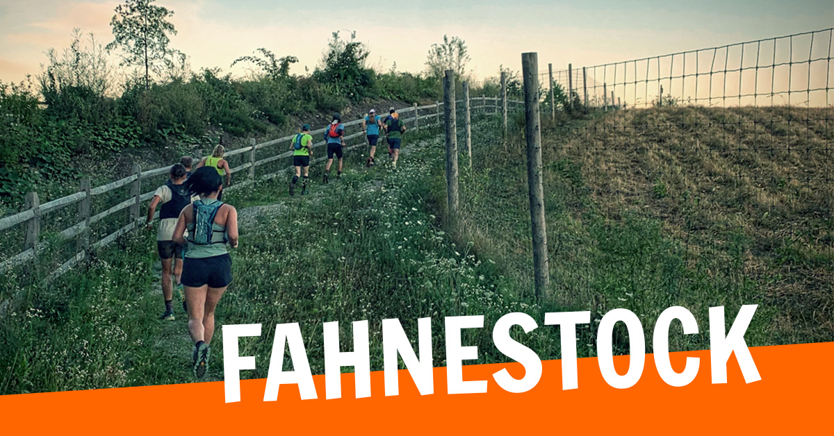
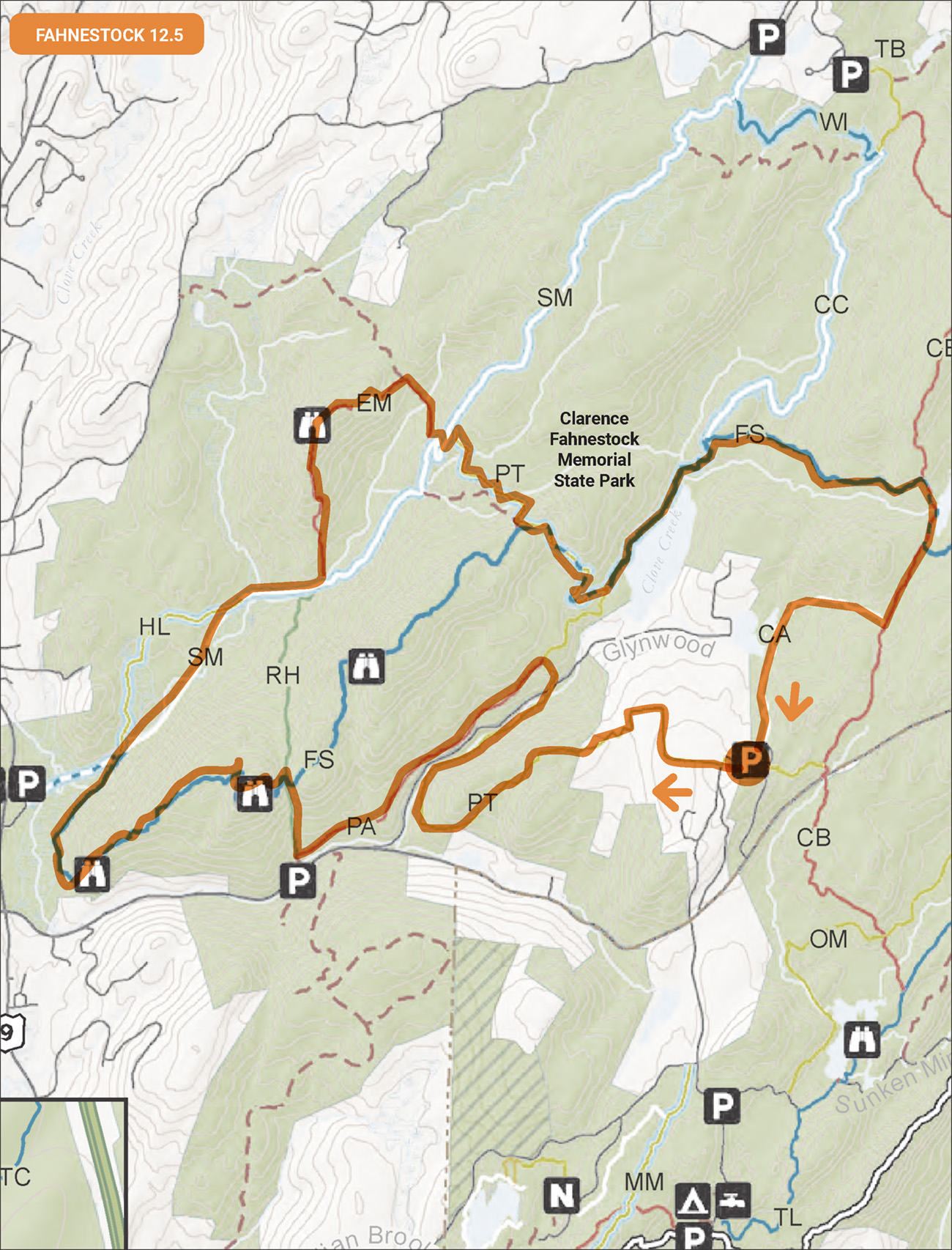
On Saturday, June 17, at 7:00 a.m., meet at the 14,000-acre Clarence Fahnestock Memorial State Park, at the Big Woods parking lot off Route 301 (GPS Glynwood Farm or Topfield Equestrian Center for directions) for the first preview of the Fabulous Fahnestock Trail Race by Run Wild. This 12.5 mile course will follow the 50k route which is different than on the website. You don’t need to be registered for the event to enjoy the mix of trails. Travel time is about an hour from us so we can meet at the Woods Bridge Lot in Katonah at 6:00 and share rides. Please be prepared to be self-sufficient for 3-4 hours. Organizers will attempt to drop water at mile 8 but can’t make any promises.
The Strava route is available here ›› If you’re looking to stay closer to home, I’d suggest grab your own map and run the 7.5 mile course on the classic Michigan Zig-Zag map starting at 7:00. Early Risers can meet at Michigan Road and start at 6:00.
Run Calendar
Fabulous Fahnestock Preview

WHERE AND WHEN
UPCOMING
Sights and Heights
August 8 @ 7:00 am – 8:30 amMichigan to Kimberly v1
August 9 @ 8:00 am – 10:00 amTrail Tuesday
August 11 @ 5:30 am – 7:00 amAn event every week that begins at 5:30 am on Tuesday, repeating indefinitely
Workout Wednesday—Kimberly Bridge
August 12 @ 5:30 am – 7:00 amAn event every week that begins at 5:30 am on Wednesday, repeating until December 30, 2026
Trail Thursday
August 13 @ 5:30 am – 7:00 amAn event every week that begins at 5:30 am on Thursday, repeating indefinitely
Fitness Friday
August 14 @ 5:45 am – 7:00 amAn event every week that begins at 5:45 am on Friday, repeating until December 18, 2026
Kimberly to Raven Rocks
August 15 @ 7:00 am – 9:00 amTown to Trailside
August 16 @ 8:00 am – 9:30 amTrail Tuesday
August 18 @ 5:30 am – 7:00 amAn event every week that begins at 5:30 am on Tuesday, repeating indefinitely
Workout Wednesday—Kimberly Bridge
August 19 @ 5:30 am – 7:00 amAn event every week that begins at 5:30 am on Wednesday, repeating until December 30, 2026
TRAIL DAMAGE REPORT
Help keep the trails clear by reporting downed trees or other conditions that the park should know about.
Report Damage ››
DONATE
STAY ON COURSE
The Free Avenza Maps software now has a free trail map of the Reservation available here. You can use that or the free GaiaGPS to load KML files of some of our runs as overlays. Now there’s no excuse to get lost.
