Kennedy to Angle Fly
Kennedy to Angle Fly 9 Mile
This unique run starts at the trailhead of the Kennedy Trail, adjacent to the John F. Kennedy High School in Somers (54 Rte 138, Somers, NY), and makes its way through Reis Park to Angle Fly Preserve for a short loop there. There are options for extending the run farther in Angle Fly or cutting it short in Reis.
Upcoming
Workout Wednesday—Trailside Museum
January 22 @ 5:30 am - 7:00 amTrailside Museum
Reservation Road
Pound Ridge, NY 10576 United States + Google Map
Pound Ridge, NY 10576 United States + Google Map
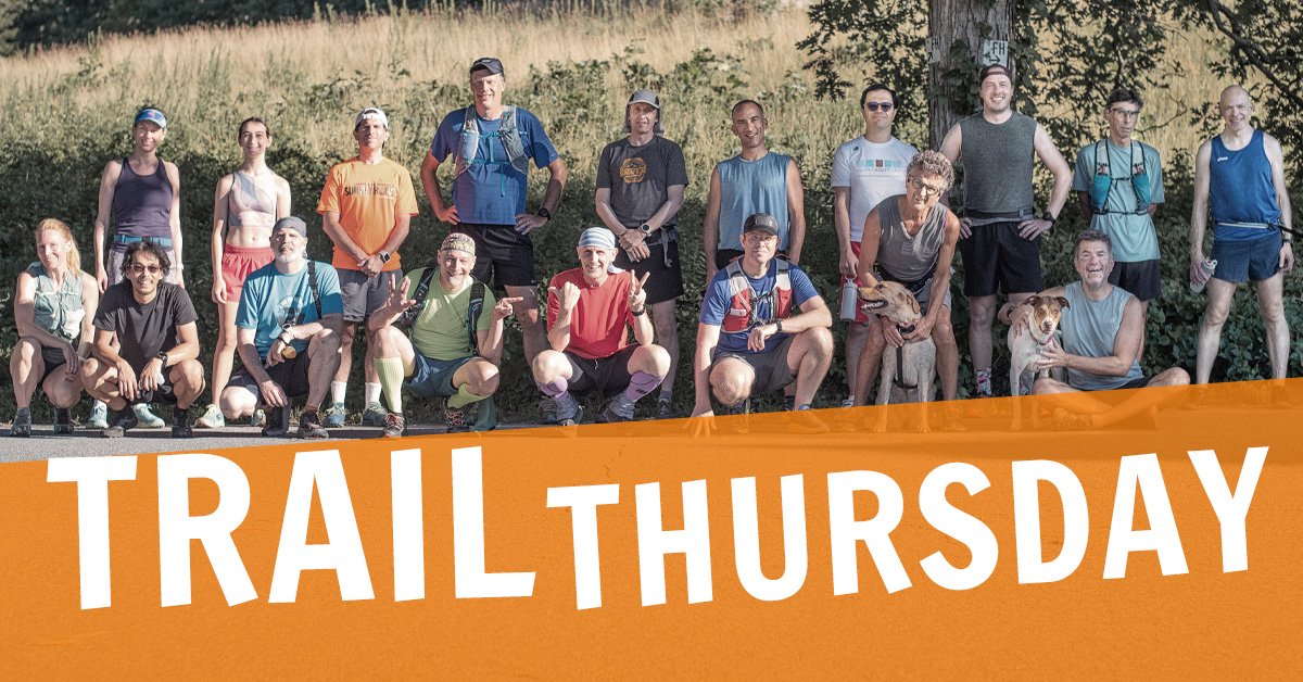
Trail Thursday
January 23 @ 5:30 am - 7:00 amWard Pound Ridge Reservation, Michigan Road Lot
Michigan Road
Pound Ridge, NY 10576 United States + Google Map
Pound Ridge, NY 10576 United States + Google Map
Red/Rock Trail Loop
January 26 @ 8:00 am - 9:30 amWard Pound Ridge Reservation, Michigan Road Lot
Michigan Road
Pound Ridge, NY 10576 United States + Google Map
Pound Ridge, NY 10576 United States + Google Map
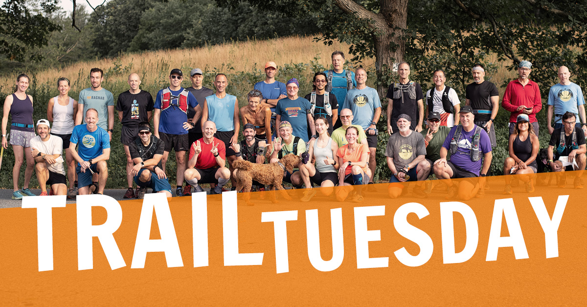
Trail Tuesday
January 28 @ 5:30 am - 7:00 amWard Pound Ridge Reservation, Michigan Road Lot
Michigan Road
Pound Ridge, NY 10576 United States + Google Map
Pound Ridge, NY 10576 United States + Google Map
Trail Thursday
January 30 @ 5:30 am - 7:00 amWard Pound Ridge Reservation, Michigan Road Lot
Michigan Road
Pound Ridge, NY 10576 United States + Google Map
Pound Ridge, NY 10576 United States + Google Map
Trail Tuesday
February 4 @ 5:30 am - 7:00 amWard Pound Ridge Reservation, Michigan Road Lot
Michigan Road
Pound Ridge, NY 10576 United States + Google Map
Pound Ridge, NY 10576 United States + Google Map
Trail Thursday
February 6 @ 5:30 am - 7:00 amWard Pound Ridge Reservation, Michigan Road Lot
Michigan Road
Pound Ridge, NY 10576 United States + Google Map
Pound Ridge, NY 10576 United States + Google Map
Looper Bowl Pregame
February 8 @ 7:00 am - 9:00 amWard Pound Ridge Reservation, Meadow Lot
Reservation Road
Pound Ridge, NY 10576 United States + Google Map
Pound Ridge, NY 10576 United States + Google Map
Looper Bowl
February 9 @ 8:00 am - 10:00 amWard Pound Ridge Reservation, Meadow Lot
Reservation Road
Pound Ridge, NY 10576 United States + Google Map
Pound Ridge, NY 10576 United States + Google Map
Trail Tuesday
February 11 @ 5:30 am - 7:00 amWard Pound Ridge Reservation, Michigan Road Lot
Michigan Road
Pound Ridge, NY 10576 United States + Google Map
Pound Ridge, NY 10576 United States + Google Map
Stay On Course
The Free Avenza Maps software now has a free trail map of the Reservation available here. I’ll make .kml files available as I can so you can load them as layer overlays. Now there’s no excuse to get lost.
Donate
Help keep the site running, kick in something for a night run, or help share the cost of special events by donating. Any amount accepted. Thanks.
Donate with Venmo ››
